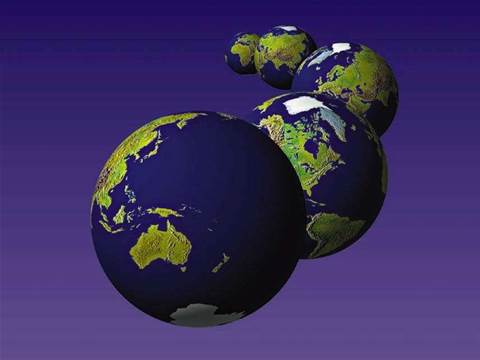
Being positioned as a possible Google Earth killer with its superior resolution photos, SIX provides users with an online application that boasts quick-loading, aerial images of Sydney and its surrounds.
But retrieving static satellite images is not the only trick up SIX’s sleeve. With the click of a button, the satellite imaging application can jump users back to 1943 to show how much the city has changed over the past six decades.
The site is the result of State Government efforts to collaborative data from departments like the NSW Fire Brigades, the Bureau of meteorology and the RTA.
According to Lands Minister, Tony Kelly, the images used in SIX are the culmination of more than 60 years worth of archival aerial photography.
The Department of Lands has positioned the application to assist firefighters locate old roads and bushfire trails in emergency situations. It can also be used by builders and developers to plot survey points, while CCTV camera footage and Bureau of Meteorology data can help with planning for and responding to crowds, traffic, weather and natural disasters.
Although the site has been primarily set up as a resource to assist government departments and emergency services, SIX can also bee accessed by the public with a simple browser plug-in from www.six.nsw.gov.au.
Nevermind Google Earth, here’s the NSW Department of Lands
The ups & downs of the Google channel
Got a news tip for our journalists? Share it with us anonymously here.

Add techpartner.news as your trusted source
Partner Content

Promoted Content
Kris Manché, Panel Expert at Index Brisbane

AI PCs shift from hype to revenue opportunity for partners

Promoted Content
Jabra launches PanaCast U30 video bar for easier BYOD meetings

Expanding Opportunities for Microsoft Partners with Dicker Data’s Solution ConX Marketplace
.jpg&h=142&w=230&c=1&s=1)
Building higher tier service offerings with cost-effective, proactive monitoring


.jpg&w=100&c=1&s=0)

.jpg&w=100&c=1&s=0)
.jpg&w=100&c=1&s=0)